Resources
Explore all of our content to learn more about how Ecopia is digitizing the world with AI.
Blog
Digital Twin
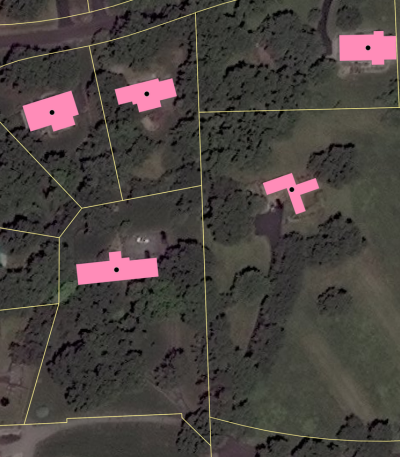
Geocoding Accuracy Indicators: What Coordinates Can't Tell You
Blog
Digital Twin
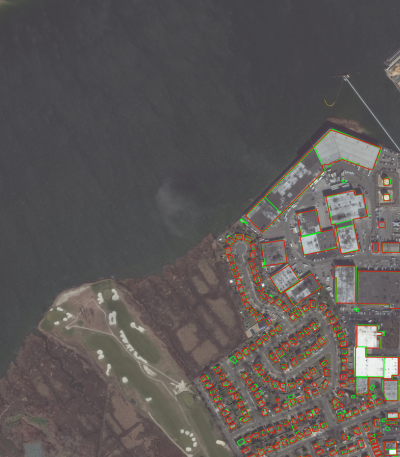
The Ultimate Guide to Geospatial Data Quality
Blog
Partnerships
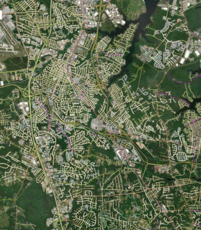
A New Geospatial Era: 3D Maps Aligned Across Sensors & Time
Blog
Transportation Planning
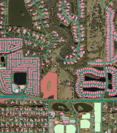
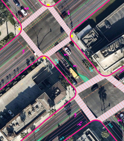
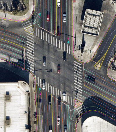
Geospatial Road Safety Analysis for Vulnerable Populations
Blog
Civil Engineering
Improving Pedestrian Walkability & Safety Using GeoAI
Blog
Transportation Planning
Mapping What Matters: Building Safer Transportation Systems with Pedestrian Asset Data

Blog
Insurance
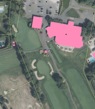
Ecopia's Geocoding APIs: Addresses, Buildings, Parcels, & More
Blog
Insurance
Rewriting the Rules: Data Innovation and the Next Era of P&C Insurance
Blog
Insurance
Measuring & Understanding Building Change Year Over Year
Blog
Digital Twin
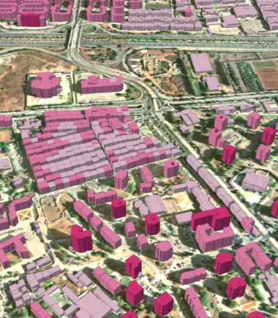
Top 5 Applications for 3D GIS Data