Our products
Ecopia® digitizes high quality map features from geospatial imagery at scale. Explore off-the-shelf building-based geocoding and 3D land cover data, as well as customized global feature extraction.
-
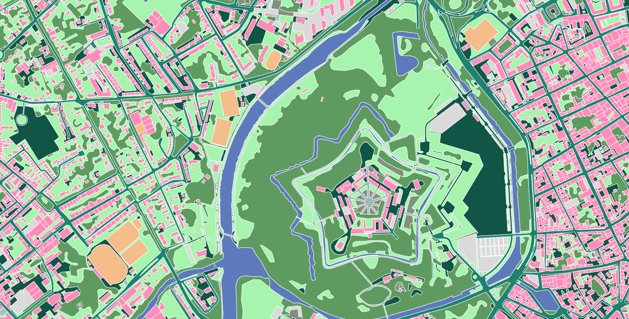
3D Land Cover
The most comprehensive, accurate, and up-to-date land cover data for next-generation visualization, analytics, and decision-making.
Read more about 3D Land Cover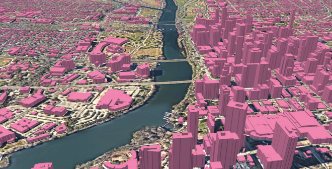
-
Advanced Transportation Features
Detailed infrastructure data to power right-of-way analysis, active transportation plans, pedestrian safety improvements, expedited permitting, and more.
Read more about Advanced Transportation Features
-
Building-Based Geocoding
Building-Based Geocoding provides 178M+ high-precision building footprints and rooftop-level geocodes for more than 270 million primary and secondary US address points.
Read more about Building-Based Geocoding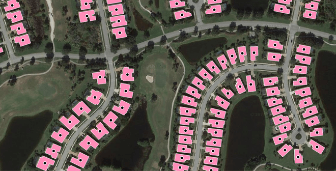
-
Global Feature Extraction
Using the most up-to-date imagery sources available, Ecopia applies our proprietary advanced AI systems to rapidly generate HD vector maps of any feature that is discernible from source imagery.
Read more about Global Feature Extraction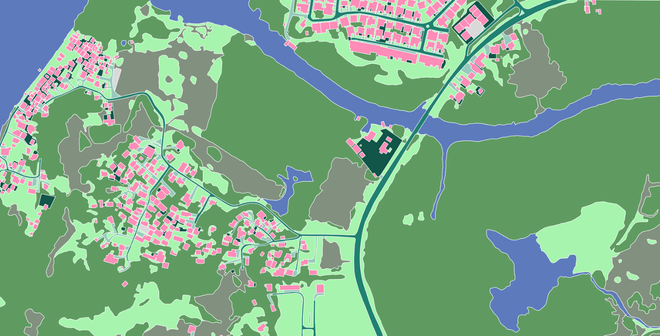
Ready to get started?
Get in touch with our team and explore our data portal.