Resources
Explore all of our content to learn more about how Ecopia is digitizing the world with AI.
Blog
Insurance
Measuring & Understanding Building Change Year Over Year
Blog
Civil Engineering
AI vs. Manual Asset Map Data Digitization in Civil Engineering
News
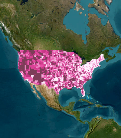
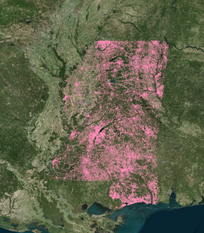
Digital Twin
Ecopia AI Delivers Statewide Address & Building Footprint Database to the State of Mississippi
Case Study
Public Safety
Wildfire Readiness in the Age of AI: Geospatial Data Strategies
Blog
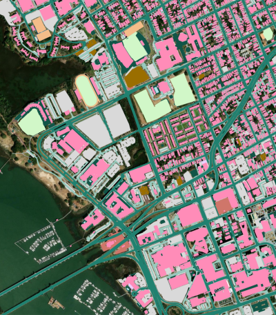
Digital Twin
Geocoding Accuracy Indicators: What Coordinates Can't Tell You
News
Digital Twin
Ecopia AI Provides Statewide Land Cover & Transportation Data to Connecticut
Blog
Digital Twin
The Ultimate Guide to Geospatial Data Quality
News
Digital Twin
Ecopia Launches Self-Serve Platform for High-Precision Geospatial Data Downloads
Case Study
Transportation Planning
Maintaining a Current Bike & Pedestrian Data Inventory for Active Transportation Planning
News
Transportation Planning
Indianapolis Metropolitan Planning Organization Leverages Ecopia Transportation Data to Develop Safer Streets

News
Climate Resilience
Ecopia AI Provides High-Precision Statewide Land Cover Data to North Carolina
