Industries
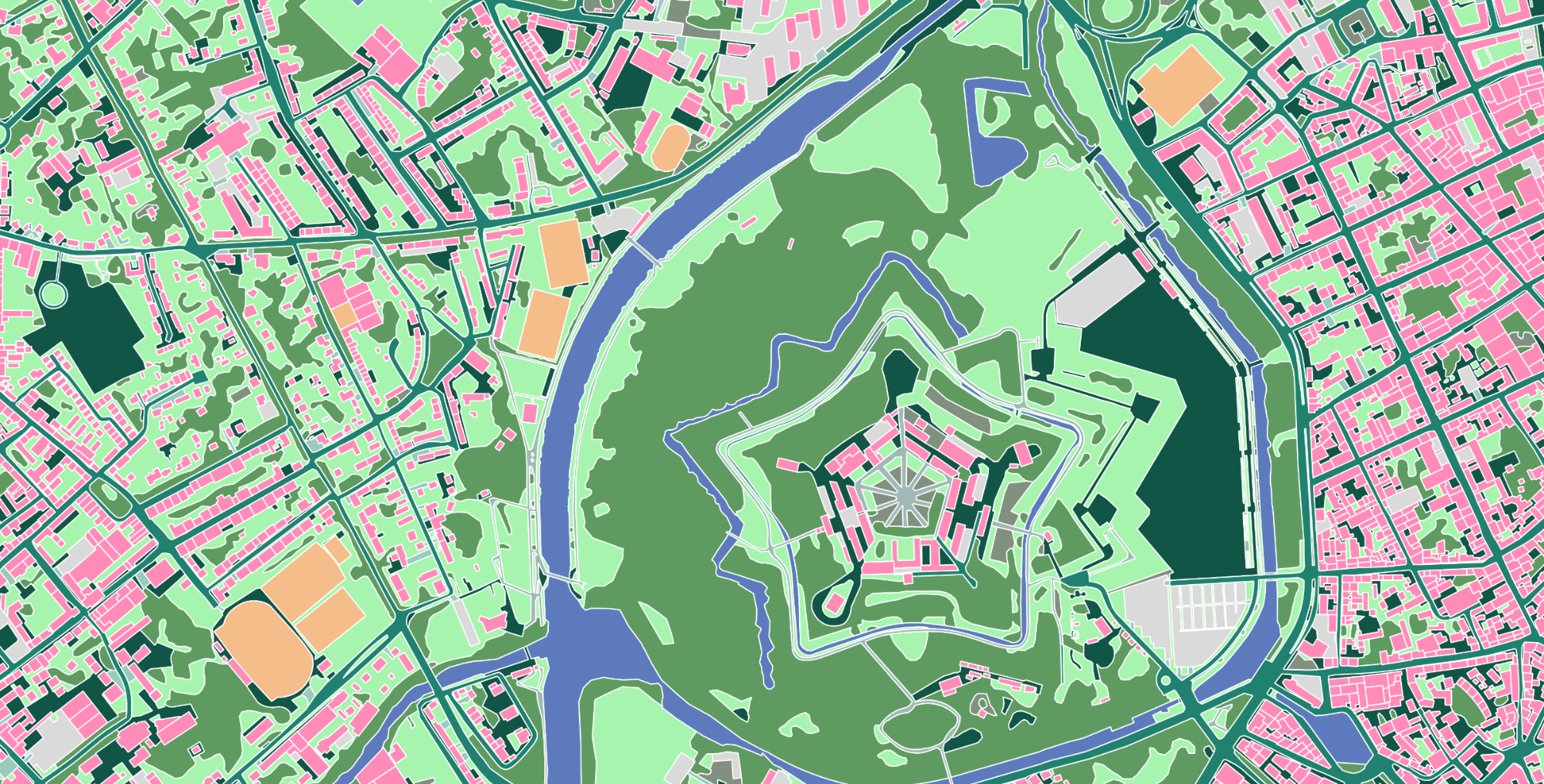
By creating the highest quality mapping data products, Ecopia® delivers a source of truth for the physical world and insight that consistently provides value across a wide range of industries.
-
Civil Engineering
Transform client engagements with high-precision land cover and transportation asset map features.
Read more about Civil Engineering
-
Municipal & State Government
Improve transportation networks, public safety, and stormwater planning throughout your community with a digital representation of infrastructure and land use.
Read more about Municipal & State Government
-
Federal Government
Develop strategic plans for nationwide initiatives in climate resilience, emergency preparedness, and rural broadband access with detailed mapping data.
Read more about Federal Government
-
Insurance
Accurately assess property risk, inform underwriting, and better manage claims with building-based geocodes and high-precision property intelligence.
Read more about Insurance
-
Telecommunications
Enhance network planning workflows and increase access with a complete view of existing infrastructure and serviceable locations.
Read more about Telecommunications
-
Non-Governmental Organizations (NGOs)
Use AI for good to inform field planning for humanitarian aid and land management projects with an up-to-date view of detailed land cover.
Read more about Non-Governmental Organizations (NGOs)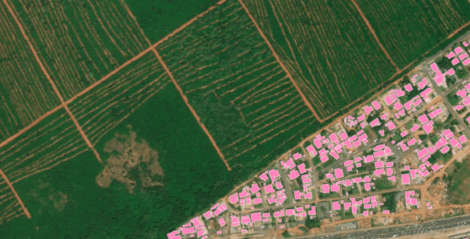
Ready to get started?
Get in touch with our team and explore our data portal.