Digitizing the world using AI
News
Digital Twin
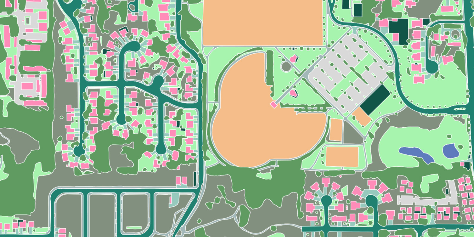
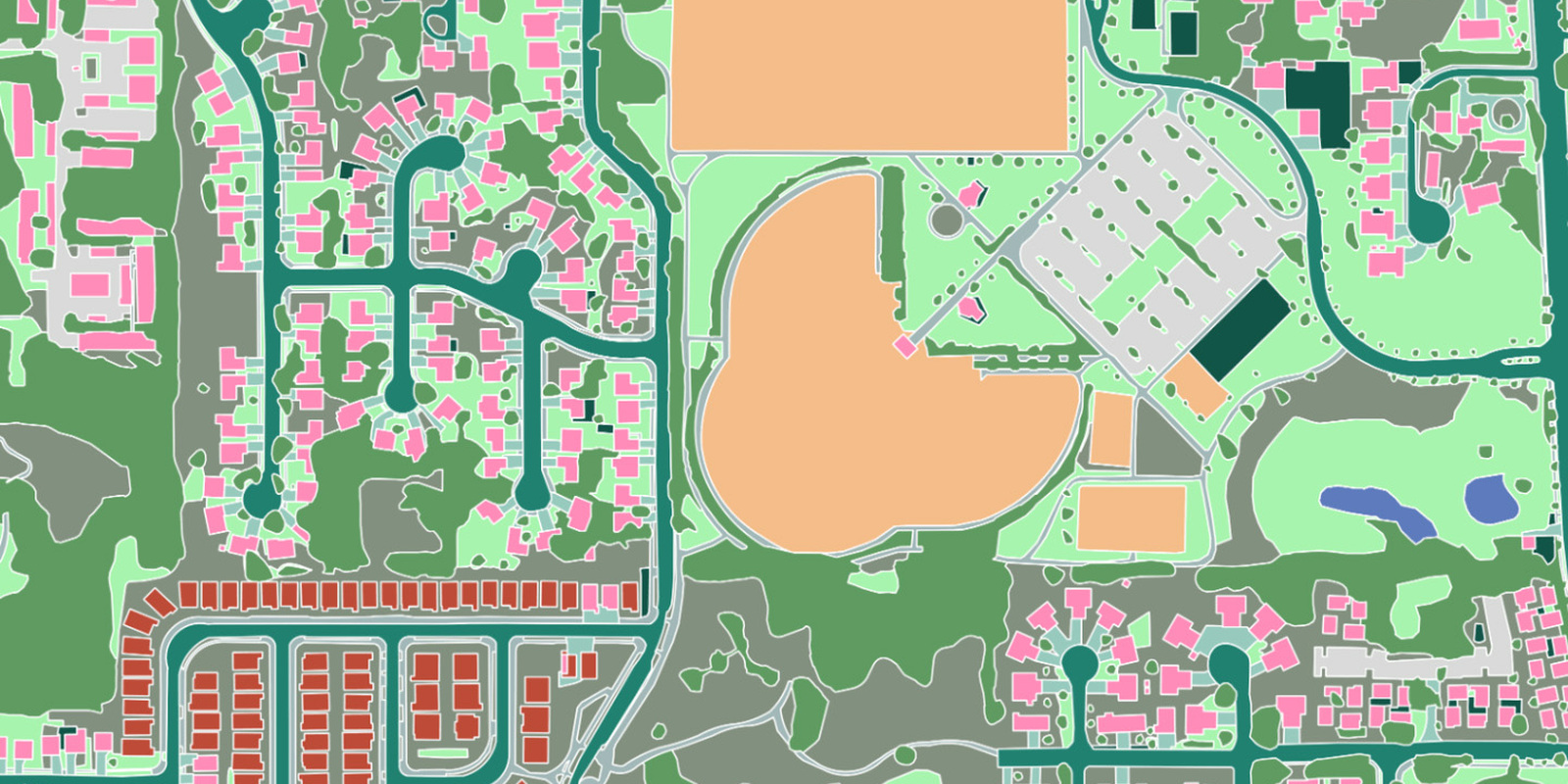
Ecopia Launches Self-Serve Platform for High-Precision Geospatial Data Downloads
Accurate
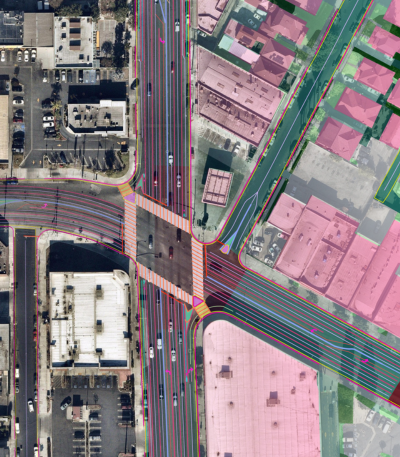
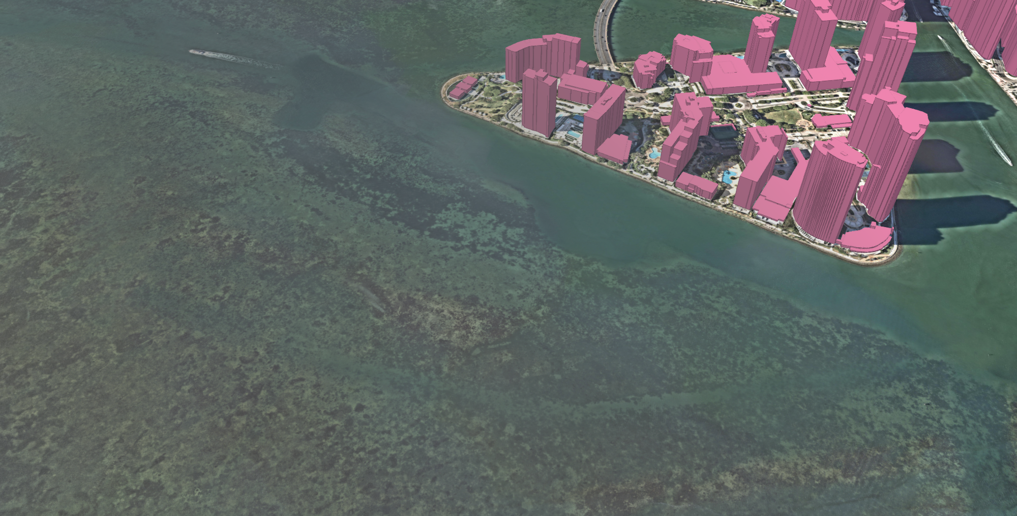
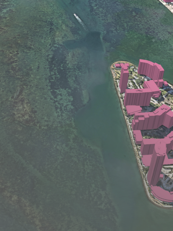
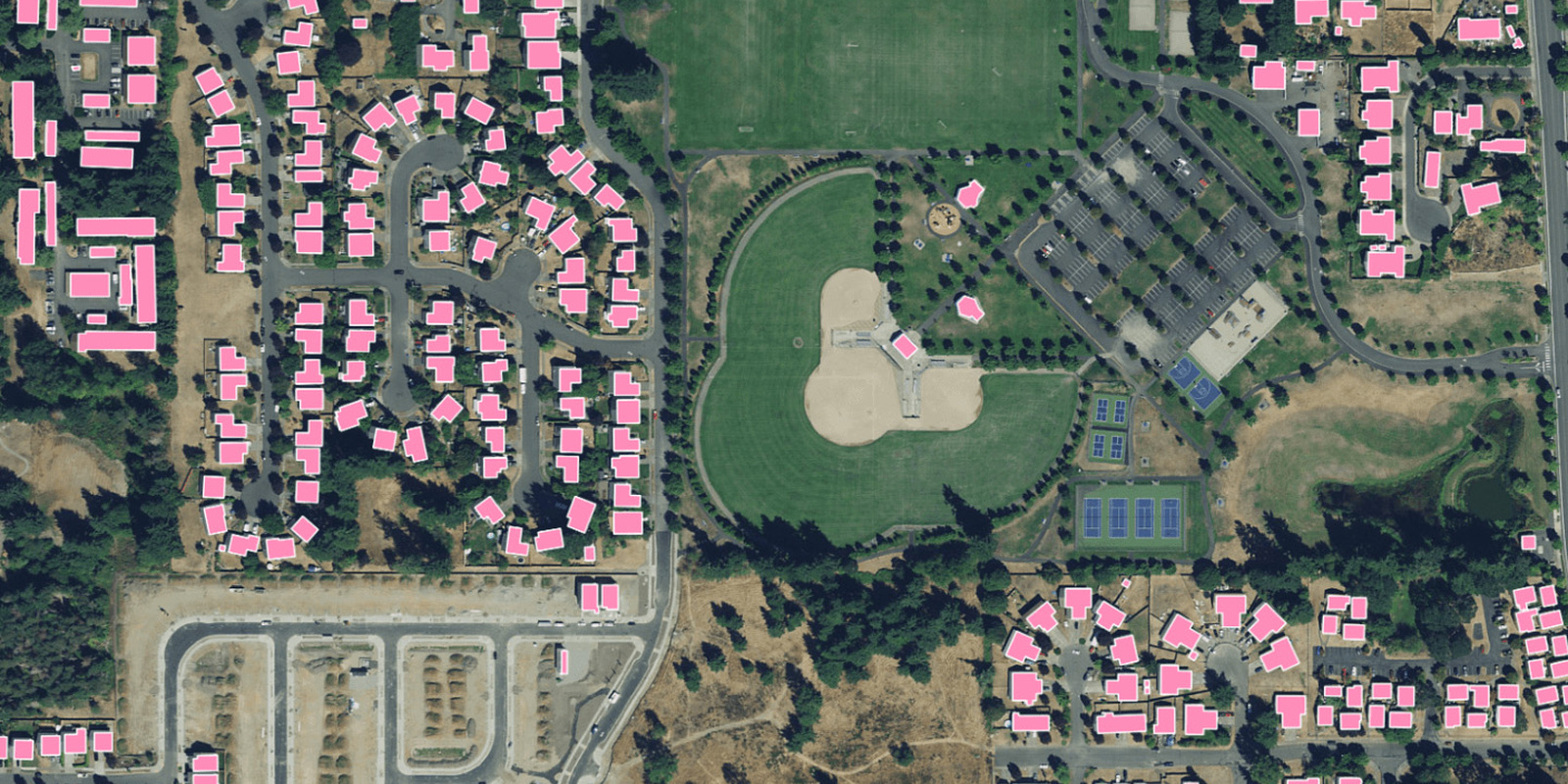
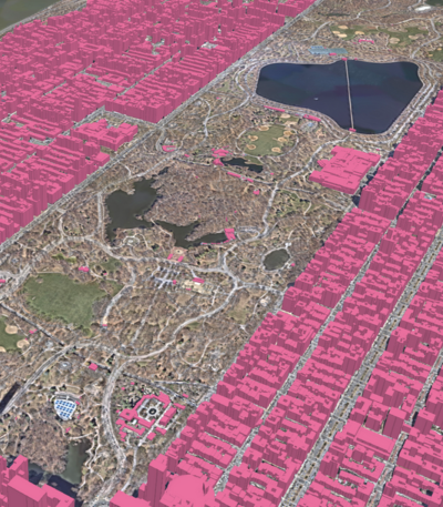
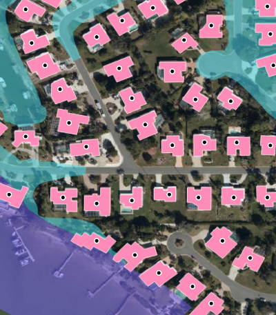
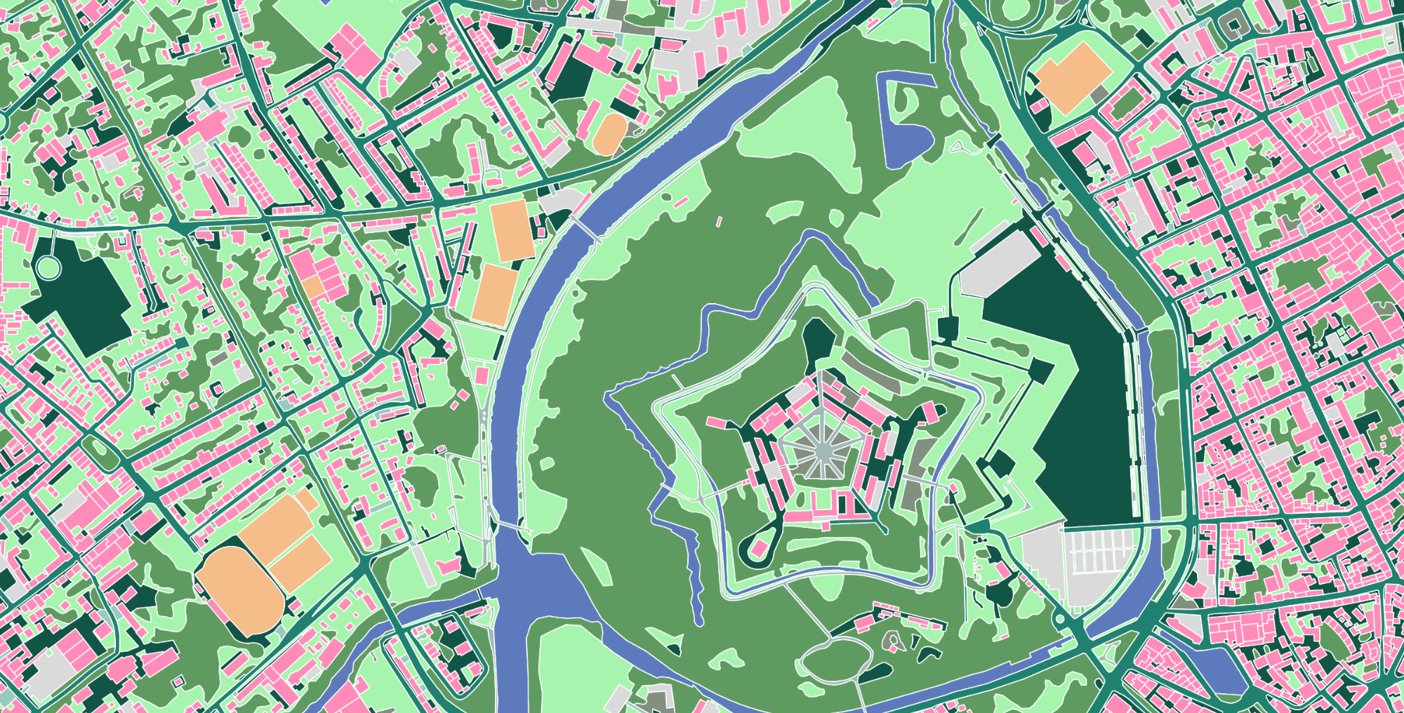
Our AI-based mapping systems extract high definition vector data with the accuracy of a trained GIS professional, providing a reliable source of truth for geospatial decision-making at scale.
Scalable
We produce millions of square kilometers of vector data per month with unmatched speed and scalability across all terrains to deliver detailed and complete insight about the real world.
Up-to-date
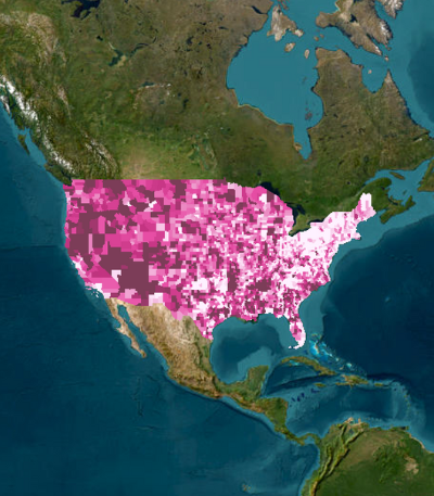
Our global partner network provides access to the latest geospatial imagery, which is then rapidly mined using our AI-based systems to create and maintain a current representation of reality.
-
Civil Engineering
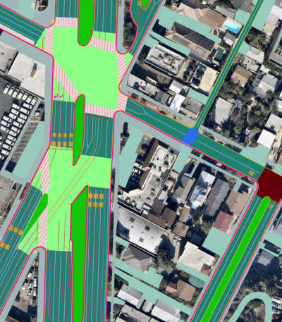
Transform client engagements with high-precision land cover and transportation asset map features.
Read more about Civil Engineering
-
Municipal & State Government
Improve transportation networks, public safety, and stormwater planning throughout your community with a digital representation of infrastructure and land use.
Read more about Municipal & State Government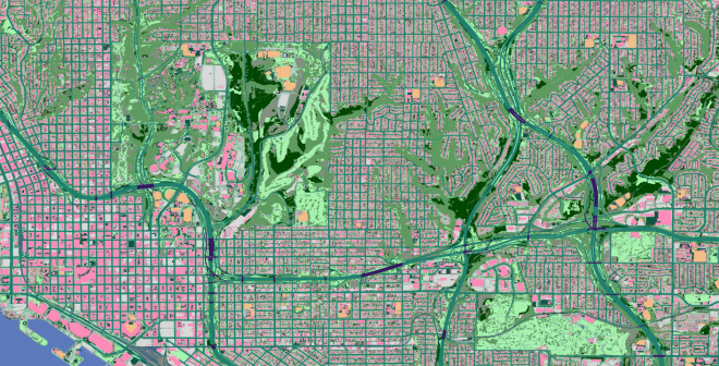
-
Federal Government
Develop strategic plans for nationwide initiatives in climate resilience, emergency preparedness, and rural broadband access with detailed mapping data.
Read more about Federal Government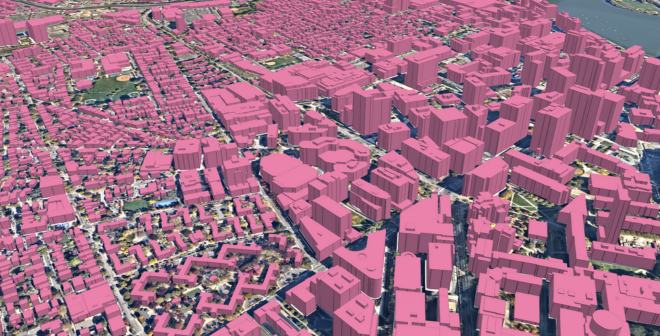
-
Insurance
Accurately assess property risk, inform underwriting, and better manage claims with building-based geocodes and high-precision property intelligence.
Read more about Insurance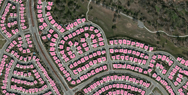
-
Telecommunications
Enhance network planning workflows and increase access with a complete view of existing infrastructure and serviceable locations.
Read more about Telecommunications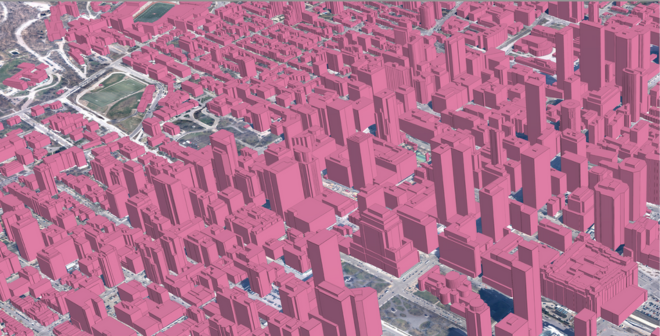
-
Non-Governmental Organizations (NGOs)
Use AI for good to inform field planning for humanitarian aid and land management projects with an up-to-date view of detailed land cover.
Read more about Non-Governmental Organizations (NGOs)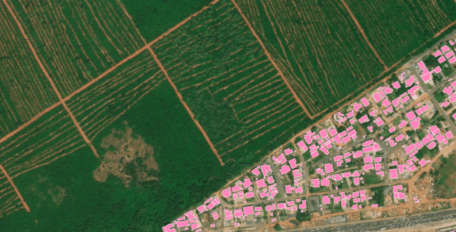
Trusted by industry leaders
Learn more
News
Digital Twin
Ecopia AI & Vantor Partner to Map the World in 3D

News
Digital Twin
Ecopia AI & Nearmap Launch Off-the-Shelf Advanced Transportation Feature Data Across North America
News
Digital Twin
3D Land Cover Data from Ecopia AI Now Available for Instant Access Across 400 US Cities
Blog
Insurance
Measuring & Understanding Building Change Year Over Year
Blog
Digital Twin
GeoAI: The Ultimate Guide to AI-Based Mapping
News
Digital Twin
Ecopia AI Provides High-Precision Mapping Data for NVIDIA Earth-2 Climate Digital Twin Cloud Platform
News
Insurance
Ecopia AI Enhances Building-Based Geocoding with Flood Zone & Change Detection Insights
Ready to get started?
Get in touch with our team and explore our data portal.