Resources
Explore all of our content to learn more about how Ecopia is digitizing the world with AI.
Blog
Network Planning
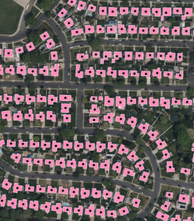
Securing Federal Funding for Broadband Expansion with Ecopia Building Footprint Data

News
Digital Twin
Collaboration Between the Canadian Federal Government & Ecopia AI Uses Land Cover Data to Map Infrastructure Equity & Better Understand Flood Risk
News
Insurance
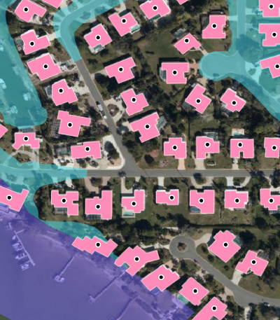
Ecopia AI Enhances Building-Based Geocoding with Flood Zone & Change Detection Insights
Blog
Transportation Planning
Predictive Analytics & GIS for Transportation Planning

News
Digital Twin
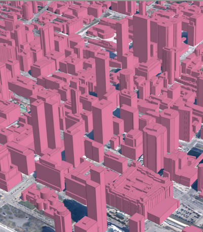
Ecopia AI Selects Sanborn to Provide High-Resolution Aerial Imagery for the 3D Mapping of Canada’s Top 100 Cities

Blog
Climate Resilience
Top 10 Applications for Land Cover and Land Use Data

News
Digital Twin
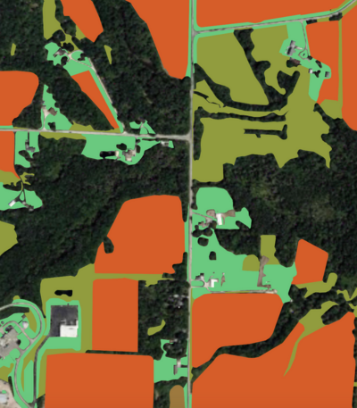
Ecopia AI Launches New Agricultural Land Use Data Layers
News
Climate Resilience
Ecopia AI Delivers Impervious Surface Data to the City of Kelowna to Support Stormwater Management
Blog
Climate Resilience
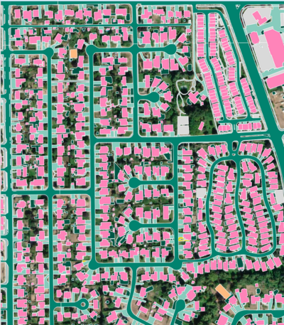
Modernizing High-Resolution Land Cover Data for Resilience

Blog
Transportation Planning
The Ultimate Guide to GIS for Bike & Pedestrian Planning

Blog
Insurance
Three Emerging Trends Impacting Flood Insurance

News
Insurance
SageSure Selects Ecopia AI’s Building-Based Geocoding to Enhance Location Intelligence
