Resources
Explore all of our content to learn more about how Ecopia is digitizing the world with AI.
News
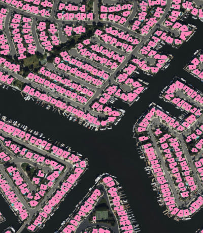
Digital Twin
Ecopia AI Provides Statewide Land Cover & Transportation Data to Connecticut
News
Digital Twin
Ecopia Launches Self-Serve Platform for High-Precision Geospatial Data Downloads
News
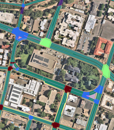
Transportation Planning
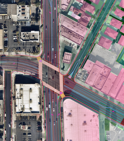
Indianapolis Metropolitan Planning Organization Leverages Ecopia Transportation Data to Develop Safer Streets

News
Climate Resilience
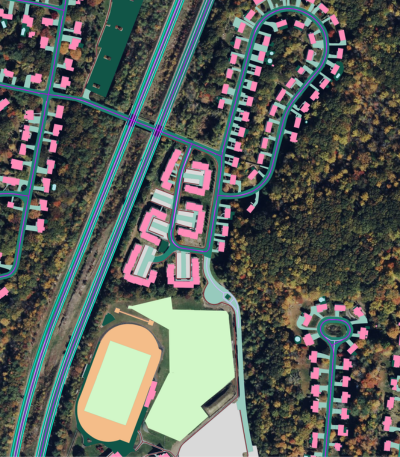
Ecopia AI Provides High-Precision Statewide Land Cover Data to North Carolina

News
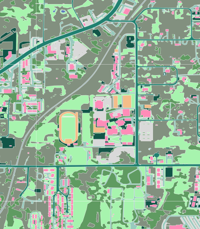
Digital Twin
Ecopia AI & Nearmap Launch Off-the-Shelf Advanced Transportation Feature Data Across North America
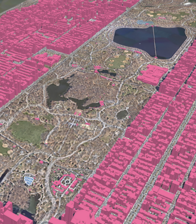
News
Digital Twin
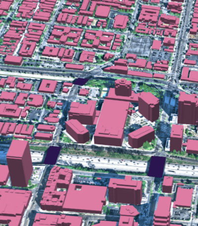
Ecopia AI & Vantor Partner to Map the World in 3D

News
Transportation Planning
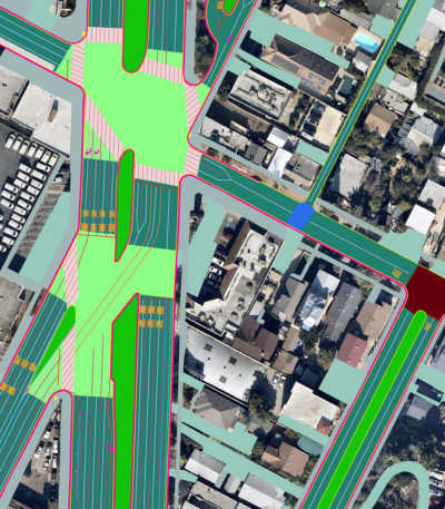
Ecopia AI Provides Santa Fe Metropolitan Planning Organization with High-Precision Data to Advance Transportation Planning
News
Insurance
Titan Flood Selects Ecopia AI’s Building-Based Geocoding to Power Advanced Geospatial Analysis
News
Digital Twin
Ecopia AI Delivers Off-the-Shelf 3D Land Cover Data Across Canada’s Largest Cities

News
Climate Resilience
The California Department of Forestry and Fire Protection Selects Ecopia AI to Deliver High-Precision Mapping Data to Support Fire Mitigation and Response
News
Digital Twin
3D Land Cover Data from Ecopia AI Now Available for Instant Access Across 400 US Cities
News
Digital Twin
Ecopia AI Provides High-Precision Mapping Data for NVIDIA Earth-2 Climate Digital Twin Cloud Platform