
Measure any property in as little as 30 minutes.
Site takeoffs for landscapers, snow contractors, and paving contractors. Measure your first
100 acres for free.
Get started
Three steps between an address and a number you can bid.
01
Review
Search an address or upload a boundary file. Draw an area or select the parcel. Check the imagery date before you spend anything.
✓
Turf
✓
Hardscape and paving
✓
Planting beds and mulch
Structures and site features
3.4 acres
$3.40
02
Quote
Pick only the layers you need. Turf, hardscape, beds, and parking. The price updates as you go.
03
Order
Place the order and get engineering-grade measurements back in as little as 30 minutes.
Your first 100 acres are free.
$100 in free credits, applied the moment you sign up.
Pay per project
As little as 30-minute results
Engineering-grade accuracy
Money-back guarantee
The problem
Bidding the old way costs you twice. First in time, then in price.
01
Hours you don’t bill.
Forty minutes there, an hour with a wheel, forty minutes back, for a property you may never win. Close rates run 15 to 25%, so most of that measuring was never going to turn into revenue.
02
Paying for a platform you half-use.
Tools advertise a low entry price, then charge per seat, per integration, per everything. Ecopia doesn’t lock you into a bundle. Use the data however you need to drive the most value for your business.
03
Bidding on a property that no longer exists.
Imagery can run a year or more behind. A driveway gets poured, a bed gets torn out, half the turf goes to gravel, and none of it shows up in the measurement. Bid high, and you lose the job to someone who measured right. Bid low, and you eat the difference every visit until the contract’s up.
There’s a faster, cheaper way to get a number you can stand behind.
Don’t take our word for it. See the data.
Sign up and search any address yourself. Real turf, hardscape, beds, and parking numbers in as little as 30 minutes.
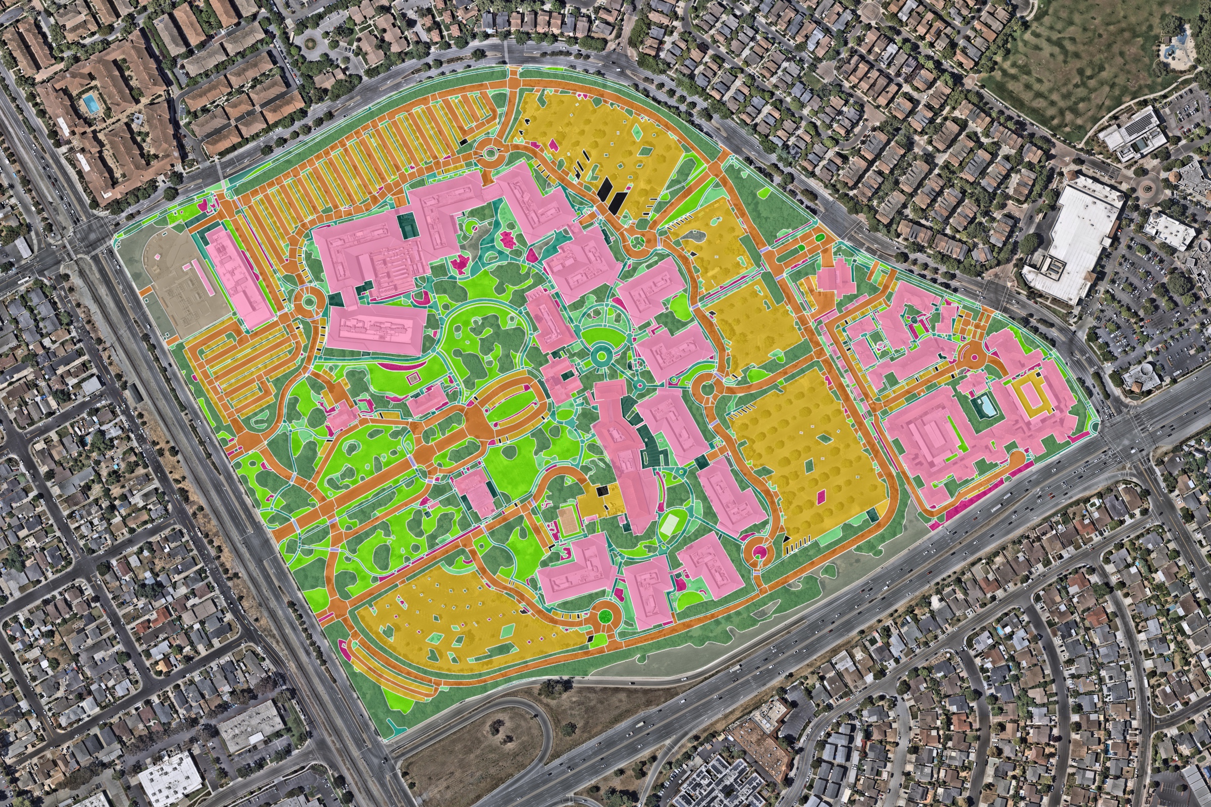
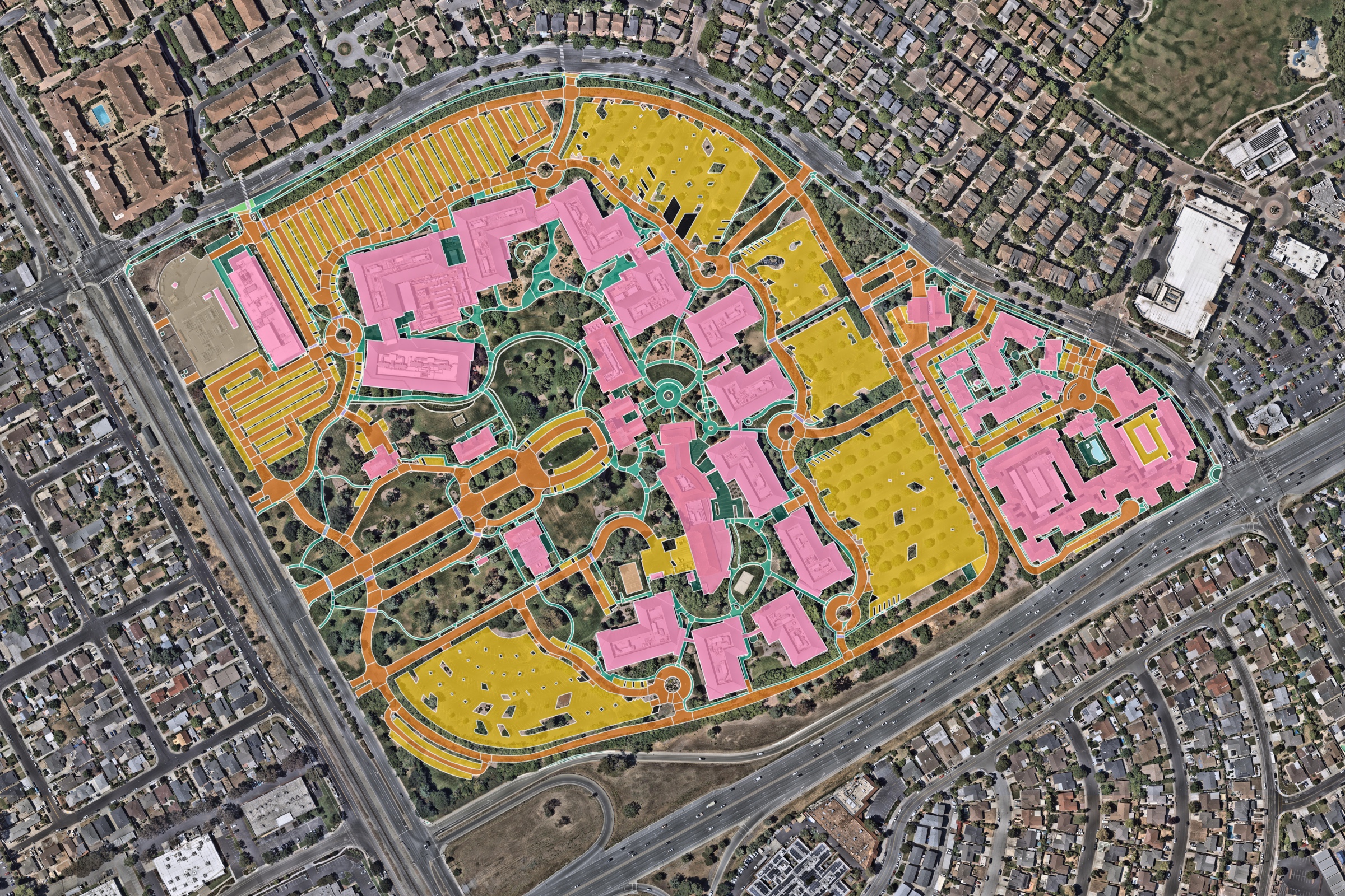
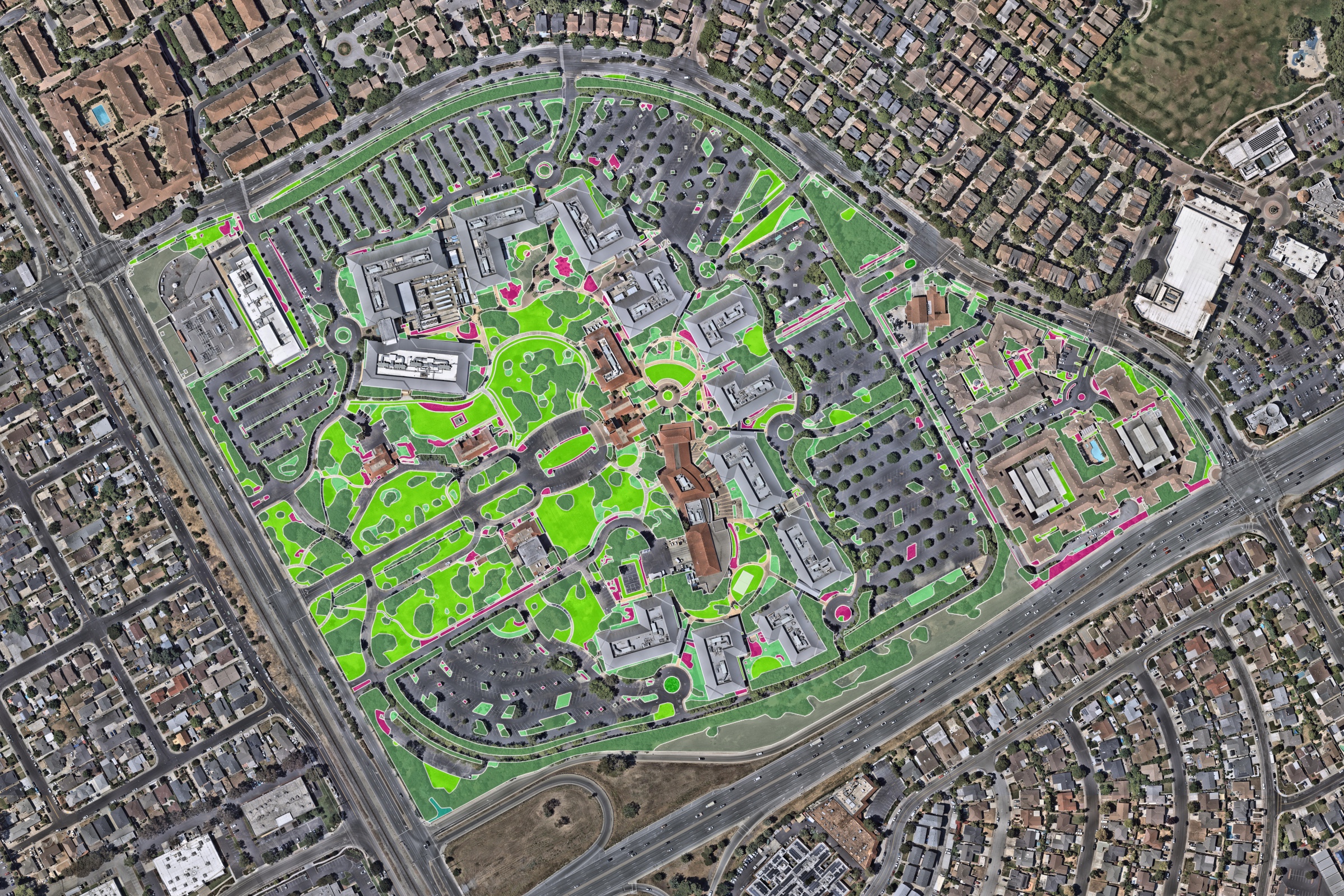
AI gets you close. A person makes it certain.
Ecopia AI (Ecopia) has been extracting features from geospatial imagery for over 13 years, longer than anyone else in this category has existed. That is why the process works. AI gets you systematic consistency, and people give you the confidence you need when you rely on the numbers.
Off-the-grid accuracy
So how is it both confirmed and instant? Because we have already done the work. Across the cities and suburbs of North America, every property is measured and checked before you ever ask for it. Beyond that footprint we still cover the whole continent. It just arrives the next business day instead of instantly.
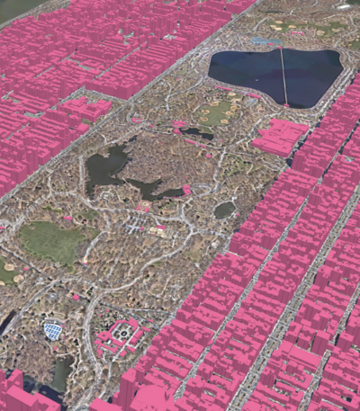
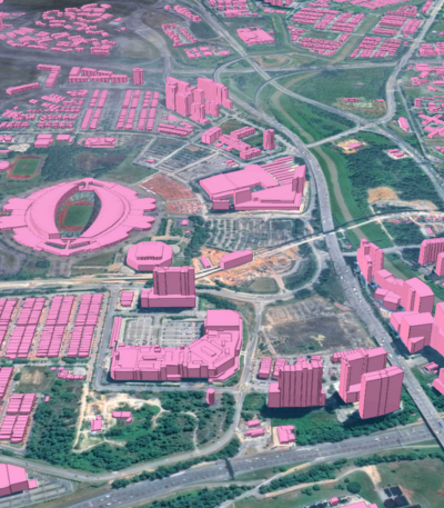
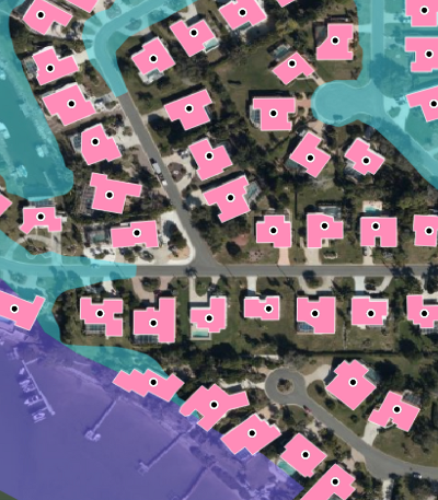
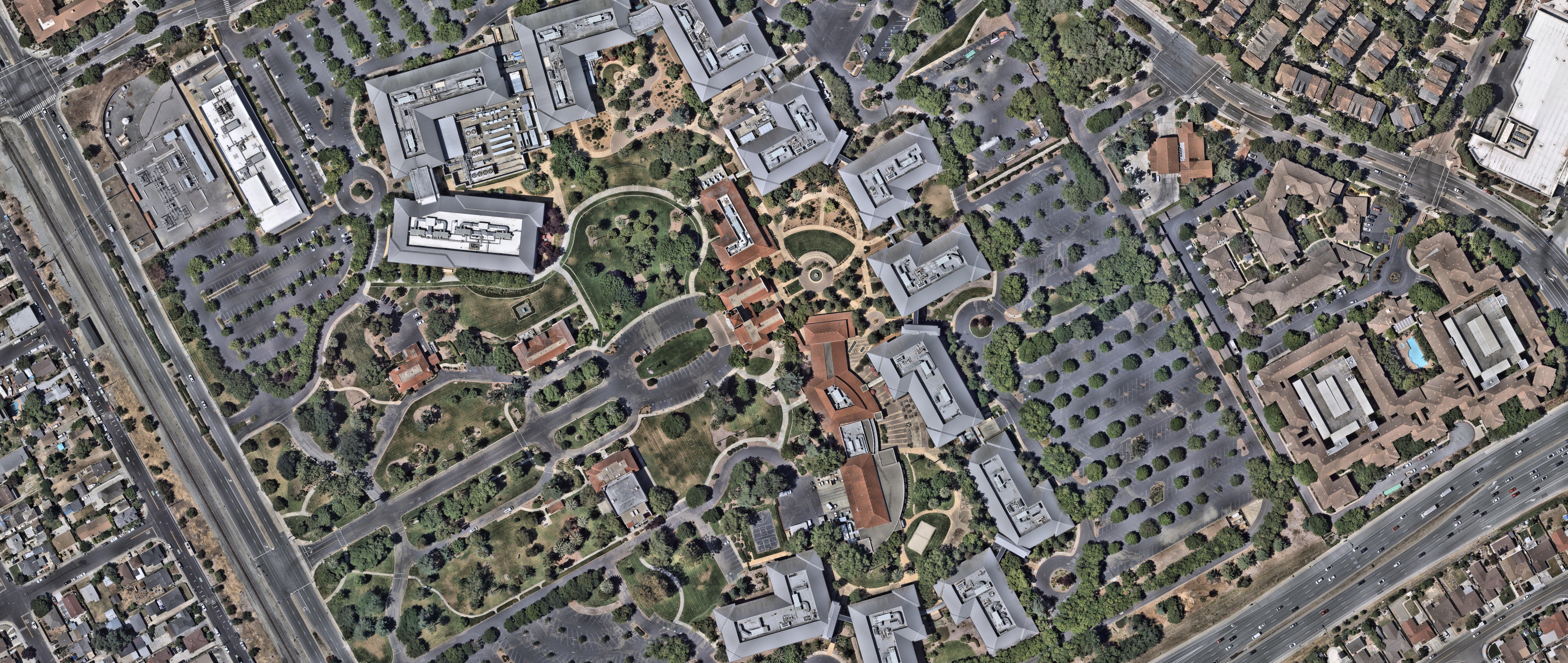
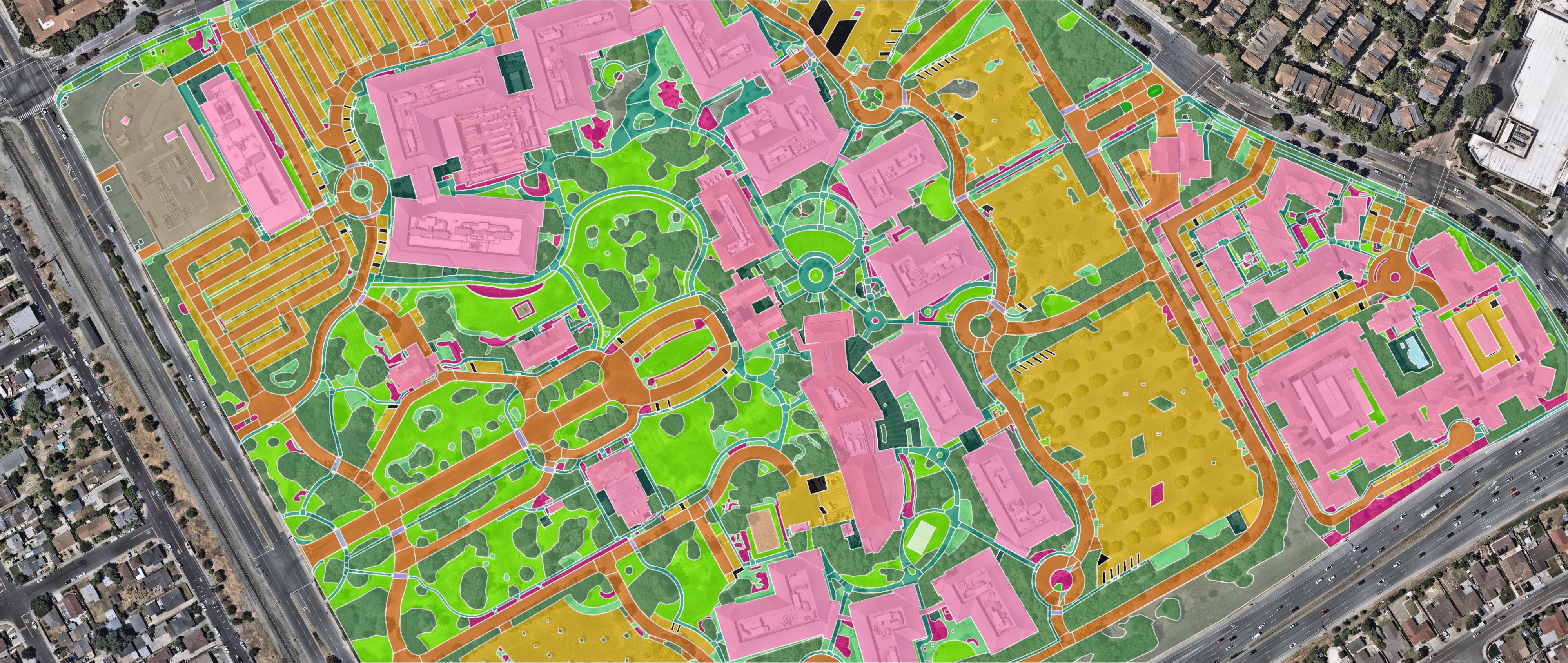
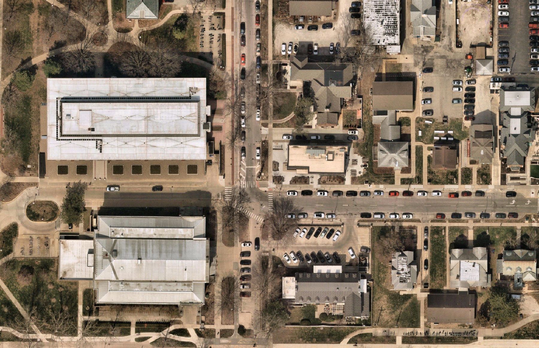
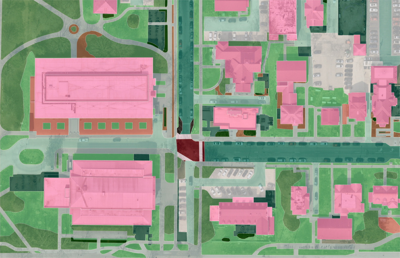
Our models trace every feature on the property from high-resolution aerial imagery, including turf, hardscape, beds, canopy, buildings, and parking.
Trained analysts check the measurement against the source imagery. It’s the step that turns a fast number into one you can put your name on, and the one most tools leave out.
Engineering-grade accuracy. The same data insurers and engineering firms rely on to allocate real costs.
Every surface on the property. Not just the lawn.
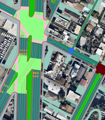
Order a preset of classes commonly bought together, or pick classes one by one. Material and type come included with every class.
Paving Surface
Softscape
Landscape & Snow
Lawn
Advanced Paving
Striping
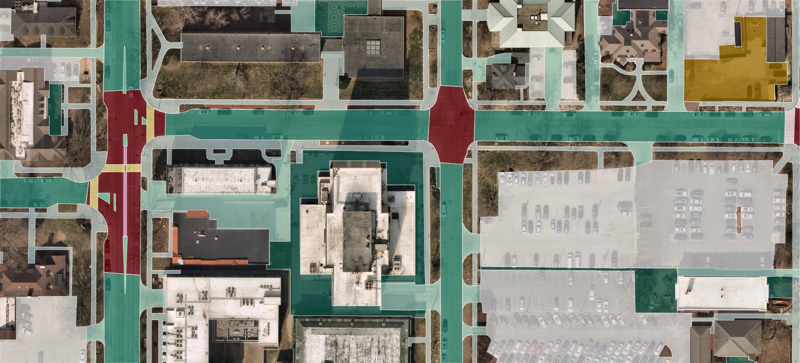
Hardscape & paving
Road segment
Road intersection
Driveway
Sidewalk
Parking area
Pavement
Sports ground
Planting strip
Railway
Material and type · included
Material: asphalt, concrete, gravel or unpaved · Type: signal, stop or uncontrolled intersections; on- or off-street parking · Width
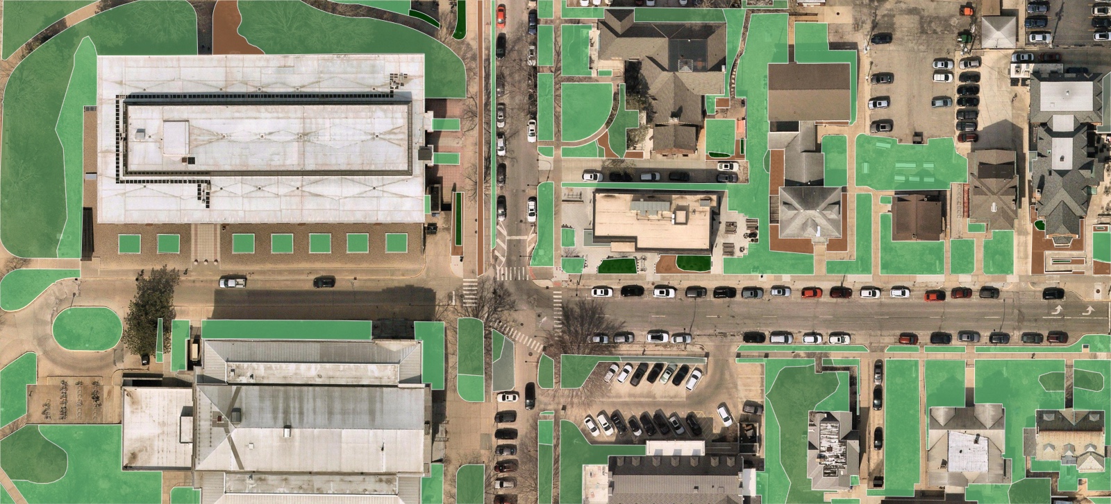
Softscape
Grass
Mulch
Tree canopy
Forest
Shrub
Bare land
Water
Agriculture
Material and type · included
Type: developed open space or wild grass
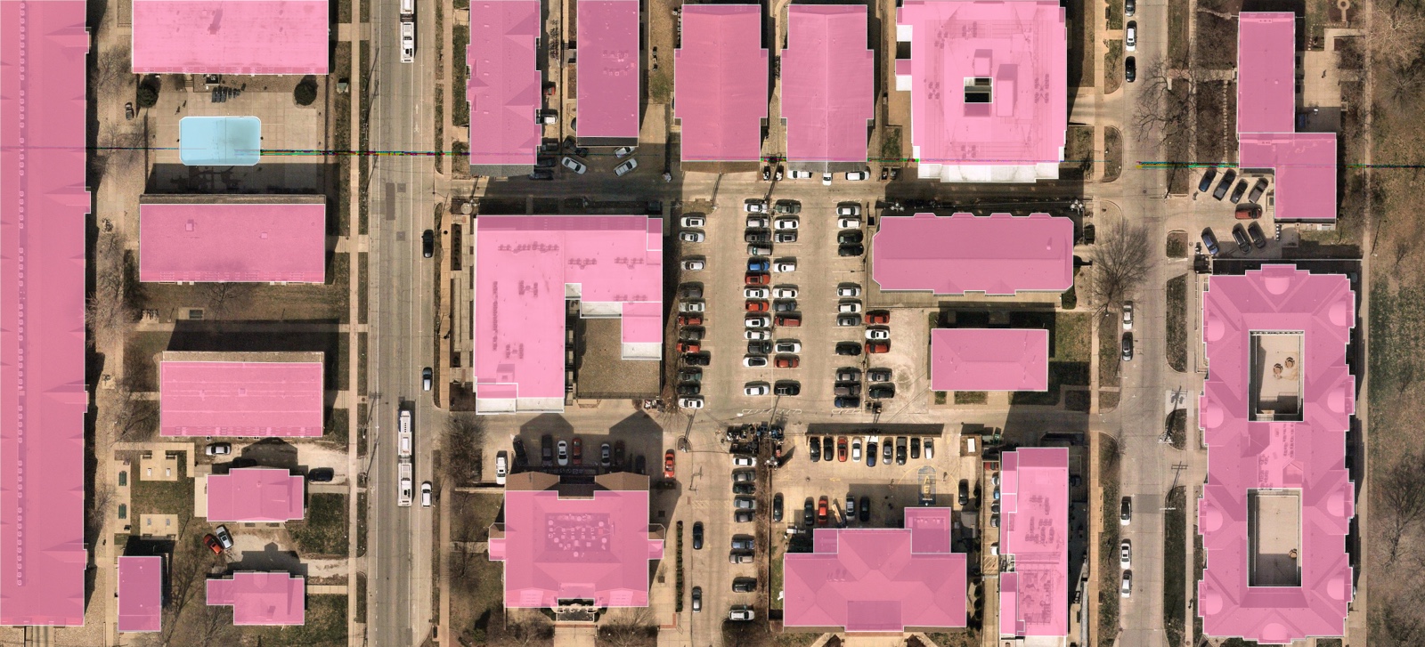
Structures & site features
Building
Bridge
Swimming pool
Solar panel
Fence
Airport
Median
No parking area
Painted speed bump
Keep clear area
Traffic sign marking
Material and type · included
Type: road or railway bridge · general or box-junction no-parking · arrow, function, text or number markings
Why trust the number
The top geospatial data provider in the industry.
Extracting features from imagery longer than any competitor in this category has been in business at all.
88% of the US population sits inside Nearmap high-resolution coverage. Everywhere else, we bring in additional imagery partners so no address is left out.
Verified by a trained analyst before it reaches you. The same standard insurers and engineering firms rely on.
US buildings mapped and maintained annually. The only complete map of US building footprints on the market.
Trusted by thousands across all industries










.svg.webp)




Pricing
No bundle. Just what you need, measured.
$100 in free credits
Sign up and get $100 in credits, about 100 acres of data, completely free.
Pro: $500/mo
Measuring regularly? Pro unlocks monthly credits and 20% off every order, at $500/mo or $5,000/yr.
No contract
Pay for the properties you measure. Nothing upfront, nothing recurring you have to escape.
No sales call
Don’t get bottlenecked by a demo. Go straight to the data and see the result for yourself.
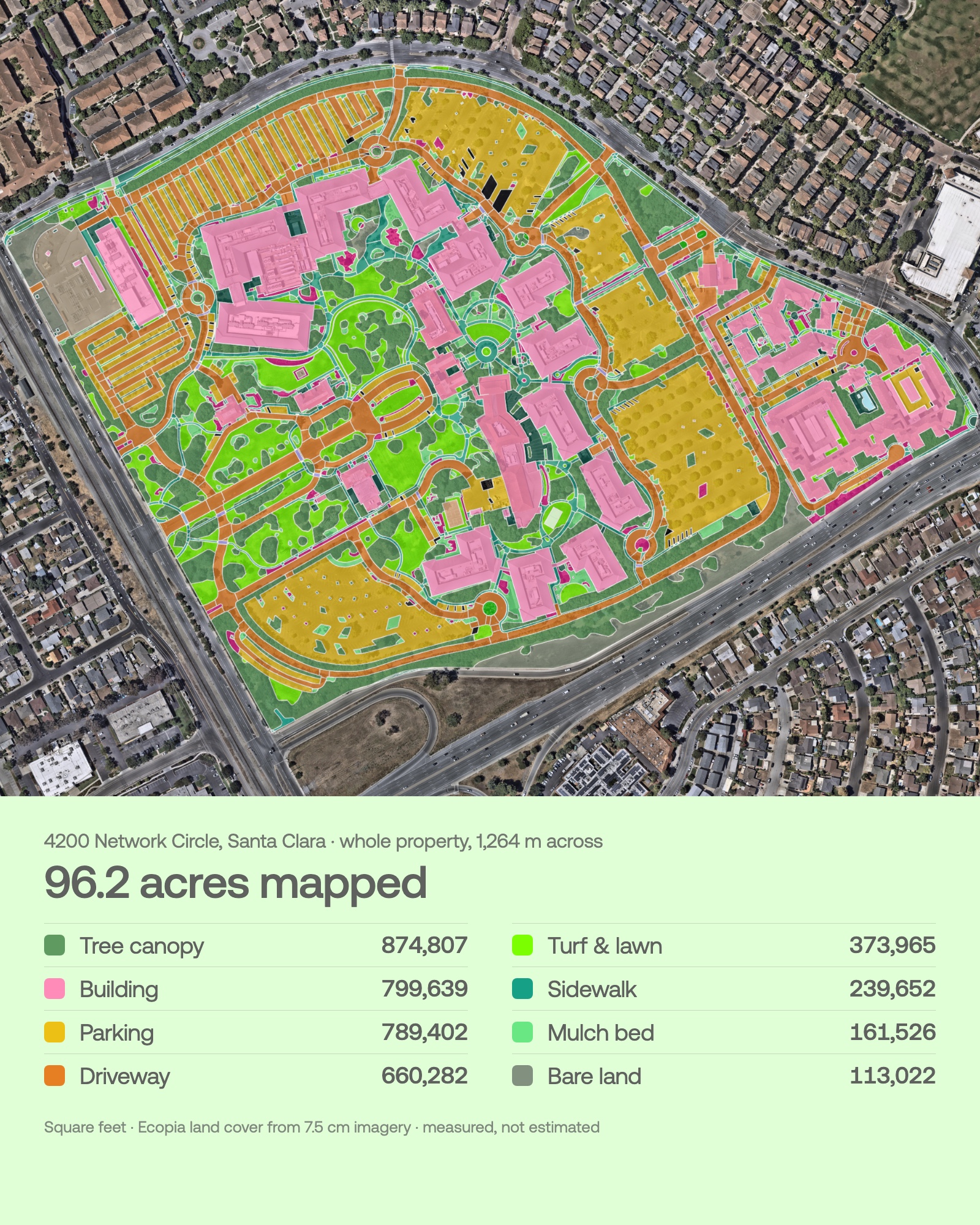
Bidding at high volume? Pricing scales with you. Volume and enterprise plans available.
Money-back guarantee. Not happy with the results? Our team will refund the cost at any time.
Is it actually free to start?
Yes. You can sign up and look around without entering a card. To claim the $100 in free credits, just add a credit card to your account. The credits land as soon as you do, and nothing is charged until you've used them up. Available in the US and Canada.

Why is it cheaper than the others?
Ecopia is supporting 1,000s of clients across multiple industries. By offering our products at scale, you aren't paying for 1-off projects. You're benefiting from an established, proven data provider.
How accurate is it, really?
Engineering-grade accuracy, confirmed by a person against the source imagery. Don't just take our word for it. Create your first dataset and see the results for yourself. It's free.
How fast is a measurement?
As little as 30 minutes. We pre-build and verify data across the cities and suburbs of North America, so in most places you're bidding, the measurement is already done before you ask for it. Anywhere else on the continent, you'll have it the next business day.
What if I work outside of areas that have data previews on the platform?
Coverage runs across North America. The only thing that varies is speed: in cities and suburbs, the data is pre-built and ready in as little as 30 minutes, and everywhere else it's ready the next business day.
What can it measure?
Everything visible from the source imagery, with the benefit of AI to interpret areas that could be partially covered. Our system doesn't just extract data as seen. It understands the environment and can infer the geometry.
Do I have to talk to sales?
No need to talk to our sales team, but if you have a question that isn't answered here, schedule a call with customer support.
What is an aerial takeoff?
An aerial takeoff is a property measurement taken from high-resolution aerial imagery instead of a site visit or a hand-traced plan. Ecopia extracts every surface on the parcel, including turf, beds, tree canopy, hardscape, parking, and buildings, and returns the square footage and linear footage an estimator can drop straight into a landscaping, hardscape, paving, or snow bid.
Is this takeoff software, or a measurement service?
Both, without the tracing. Traditional takeoff software gives you a drawing tool and leaves the site measurement to you. Ecopia delivers the measurement itself: the surfaces are already extracted from the imagery and confirmed by a person, so your estimator reviews a finished takeoff instead of building one. No contract, and you pay only for the properties you measure.
Which contractors use it?
Landscaping and lawn care, hardscape and paving, snow and ice management, and commercial property maintenance. If your estimate is priced by the square foot or the linear foot, this is the same measurement you would take on site, taken from the air in as little as 30 minutes.
Your first 100 acres are on us.
