
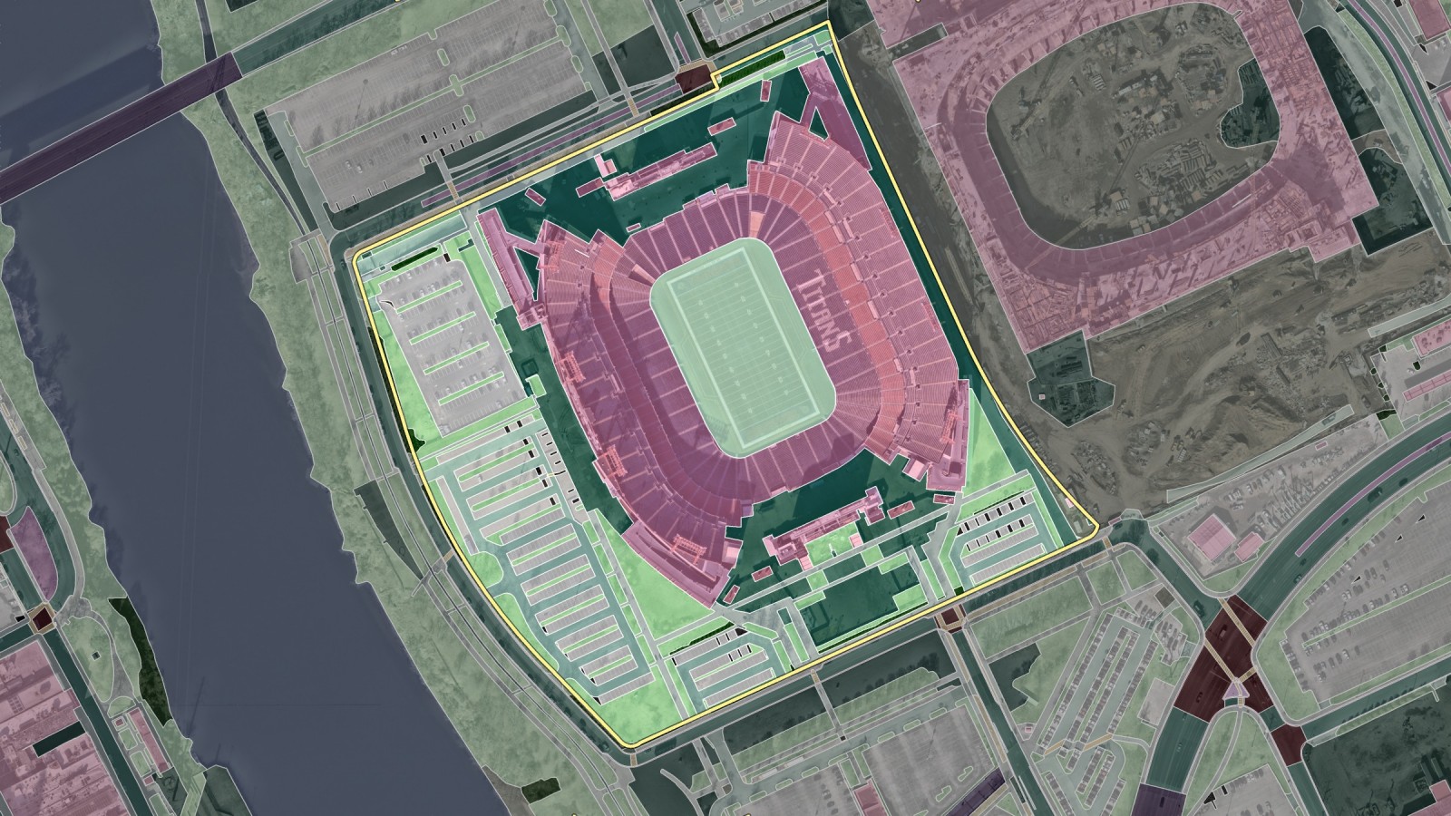
For landscaping, snow removal, and paving contractors, accurate property measurements are the starting point of a reliable estimate. Before a team can calculate labor, materials, equipment needs, or pricing, it must understand the site: how much turf needs maintenance, how much pavement needs clearing, and where sidewalks, driveways, planting beds, and parking areas are located.
Traditionally, collecting this information means driving to the property, walking the site, taking measurements, and transferring those measurements into an estimate. That process is manageable for one property, but it becomes difficult to scale when contractors are evaluating dozens of potential bids. Manual measurement sets a ceiling on how many properties can realistically be quoted in a short amount of time.
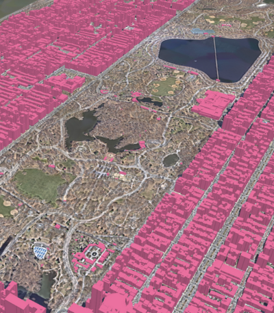
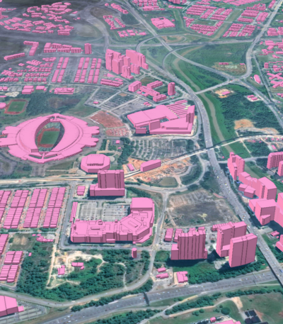
That is where Ecopia AI (Ecopia) comes in. Aerial Takeoff measures a property directly from high-resolution aerial imagery and returns measured areas, lengths, and counts for a defined property boundary in as little as 30 minutes.
Why property measurement becomes difficult to scale
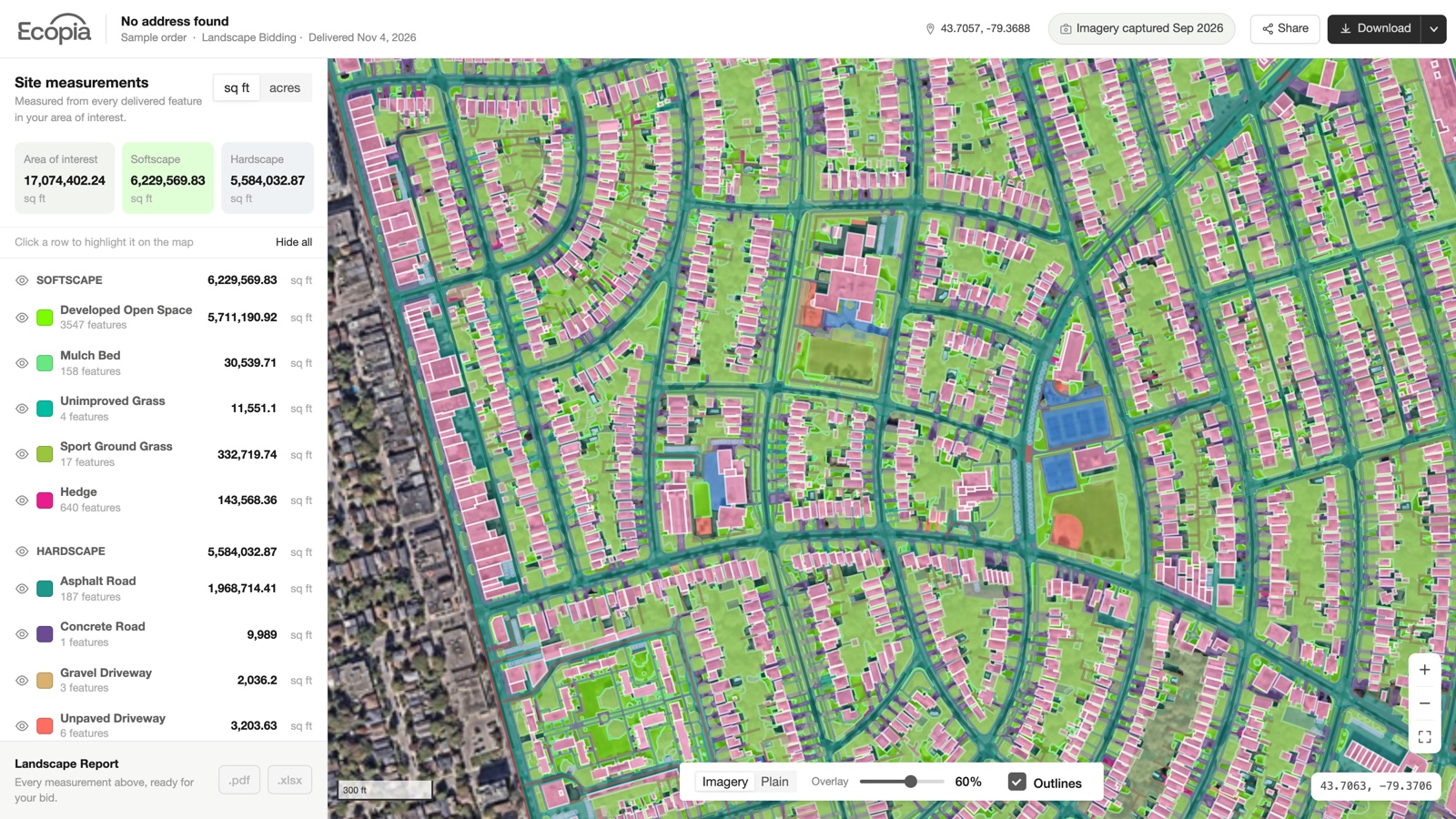
A property contains much more information than its total acreage. Two sites of similar size can require very different amounts of work depending on how the land is used.
Which surfaces matter depends on the service being priced:
- Landscaping and lawn care: Turf, planting beds, shrubs, and tree canopy.
- Snow and ice management: Parking areas, sidewalks, and driveways.
- Paving work: Pavement, parking lots, roads, and other hardscape.
Manual site measurement provides this level of detail, but it requires travel, documentation, and time in the field. As bid volume increases, repeating the same process for every opportunity slows down estimating and makes it harder for teams to secure projects.
Properties also change over time. New pavement is added, landscaped areas are redesigned, and buildings, sidewalks, or parking configurations change. Reliable property measurements need both accuracy and current imagery. Ecopia sources high-resolution imagery that already covers 88% of the US population, so most properties are ready to measure without a flight or a site visit.
From aerial imagery to usable property measurements
Aerial imagery provides a detailed overhead view of a property, but imagery alone is not a takeoff. What makes it useful is turning visible features into structured, measurable data.
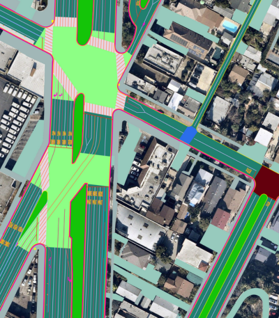
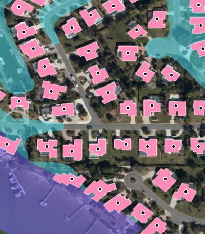
Buildings, parking areas, sidewalks, driveways, grass, planting beds, tree canopy, roads, and other surfaces are extracted as separate layers. Once classified, each surface is measured individually and can be brought straight into estimating workflows.
Contractors get the surfaces they price, not a single acreage figure. A snow contractor can focus on paved areas, while a landscaping contractor can evaluate the natural and planted portions of the same site. Classification is what ties the property data to the service being priced.

How AI makes aerial takeoffs more scalable
Digitizing every visible feature by hand from aerial imagery still takes significant time, especially on large commercial properties or campuses.
Mapping systems built on artificial intelligence (AI) automate most of the initial feature extraction by identifying and classifying repeated surface types across large areas. This makes it possible to apply a consistent mapping process across sites containing hundreds or even thousands of individual features.
Automated measurement also has to account for real-world complexity. Tree canopy can obscure pavement, shadows can hide boundaries, and similar surfaces may appear differently depending on imagery conditions.
Ecopia's Aerial Takeoff workflow combines AI feature extraction with human verification. AI identifies and traces property features, and trained analysts review the measurements against the original imagery before delivery. Automation handles the repetitive mapping while human review focuses on interpretation and unusual conditions.
Can aerial takeoffs replace site visits?
Aerial takeoffs do not remove the need for every site visit. Contractors may still need to inspect surface condition, slope, drainage, access, equipment staging, obstacles, or client-specific requirements that cannot be fully understood from imagery.
What aerial measurement changes is when that visit happens. Instead of scoping every prospective property in person simply to collect basic measurements, contractors can first review the site remotely and understand its overall surface composition. Field time then goes to the details that genuinely require in-person judgment. Site visits become more intentional and no longer translate into wasted hours at properties that may never become projects.
How aerial takeoffs support larger properties
The value of structured property data becomes more noticeable as site complexity increases.
One sample takeoff, a 96.2-acre office park in Santa Clara, California, classified the full lot into 47 surface types across 2,210 mapped features. Instead of treating the property as one overall acreage number, the takeoff separates paved, built, planted, and natural surfaces into measurable categories.
On commercial properties, campuses, and multi-building sites, the breakdown matters more than the total.

What does an aerial takeoff workflow look like?
Ecopia's Aerial Takeoff process has four steps:
- Review: Search an address or draw a boundary over the property. The platform shows the capture date of the imagery underneath before anything is committed.
- Quote: Select the layers that are relevant to the job, and the price updates as the selection changes. A contractor who only needs mowable turf is not obliged to buy a full site characterization.
- Order: On confirmation, the extraction runs. Results come back in as little as 30 minutes in pre-built areas, and by the next business day everywhere else.
- Use the measurements: Apply the data to labor, materials, equipment, and pricing decisions, then validate in the field where necessary.
Contractors select only the surfaces they need rather than measuring every available feature, which keeps the takeoff aligned with the scope of the bid.
Bringing property data into the estimating process earlier
Property measurement is only one part of preparing a successful estimate. Contractors still need to consider labor, materials, equipment, site conditions, service expectations, and margin. All of these begin with a clear understanding of the property.
Aerial takeoffs bring that information into the estimating process earlier. Instead of beginning every opportunity with a site visit, teams first understand what surfaces exist, how much of each surface is present, and where additional field investigation is needed.
For contractors managing a growing number of bids, the benefit is not simply measuring one property faster. It is a more scalable way to decide where estimating time should be spent.
Ecopia Aerial Takeoff converts high-resolution aerial imagery into engineering-grade property measurements for landscaping, snow removal, and paving workflows. See how Aerial Takeoff works, or sign up and measure your first 100 acres free.
Ready to get started?
