Menu
Let's Talk
Log In
Close
Let's Talk
1/2
Thanks, we got it. Someone from the team will be in touch shortly.
Menu
Let's Talk
Log In
Close
Let's Talk
Industries
View all
Civil Engineering
Municipal & State Government
Federal Government
Insurance
Telecommunications
Non-Governmental Organizations (NGOs)
Products
View all
3D Land Cover
Advanced Transportation Features
Building-Based Geocoding
Global Feature Extraction
Resources
View all
Blog
Case Studies
News
Partner Network
Aerial Takeoff
Data Portal
About Us
Careers
Privacy Policy
Terms of Use
Let's Talk
Explore content
1
/
2
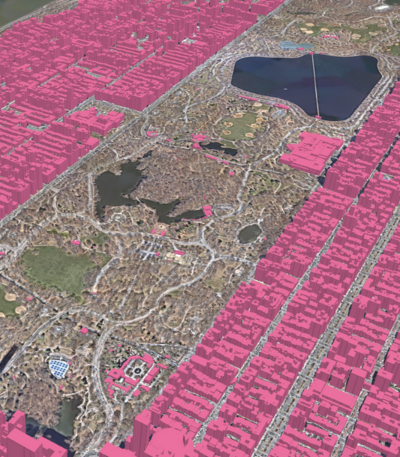
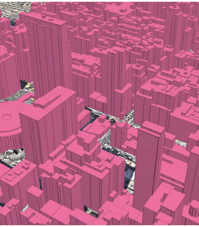
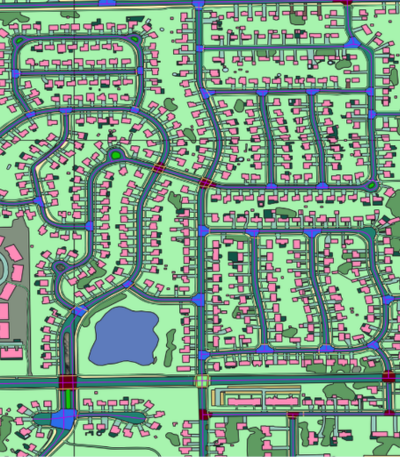
3D Land Cover Data from Ecopia AI Now Available for Instant Access Across 400 US Cities
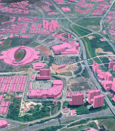
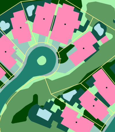
Ecopia AI & Vantor Partner to Map the World in 3D
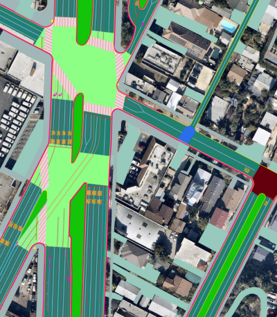
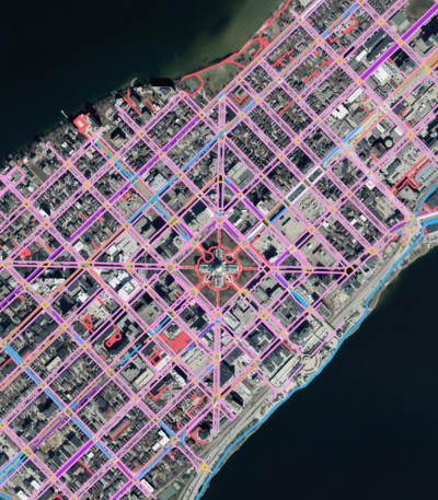
Ecopia AI & Nearmap Launch Off-the-Shelf Advanced Transportation Feature Data Across North America
The California Department of Forestry and Fire Protection Selects Ecopia AI to Deliver High-Precision Mapping Data to Support Fire Mitigation and Response
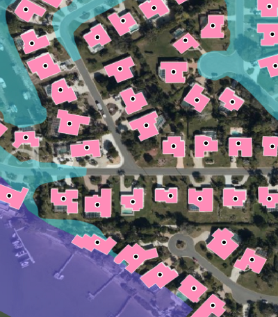
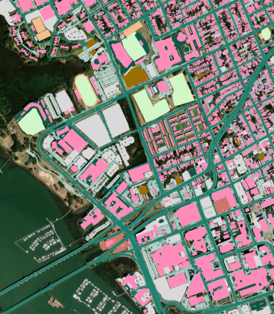
Ecopia AI Enhances Building-Based Geocoding with Flood Zone & Change Detection Insights
See all resources (208)
Resources
Explore all of our content to learn more about how Ecopia is digitizing the world with AI.
All types
All types
Blog
Case Studies
News
Blog
View all
Blog
Climate Resilience
AI-Powered 3D Land Cover Data Strengthens Climate Resilience
Blog
Insurance
Measuring & Understanding Building Change Year Over Year
Blog
Civil Engineering
AI vs. Manual Asset Map Data Digitization in Civil Engineering
Blog
Digital Twin
Geocoding Accuracy Indicators: What Coordinates Can't Tell You
Case Studies
View all
Case Studies
Digital Twin
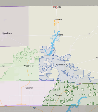
When Growth Outpaces Maps: Hamilton County’s GIS Solution
Case Studies
Transportation Planning
Scaling Regional Planning Data Creation with AI Mapping
Case Studies
Public Safety
Wildfire Readiness in the Age of AI: Geospatial Data Strategies
Case Studies
Transportation Planning
Maintaining a Current Bike & Pedestrian Data Inventory for Active Transportation Planning
News
View all
News
Company Announcements
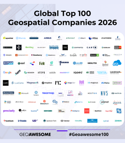
Ecopia AI Named a Global Top 100 Geospatial Company for Fifth Consecutive Year
News
Digital Twin
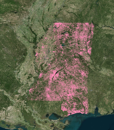
Ecopia AI Delivers Statewide Address & Building Footprint Database to the State of Mississippi
News
Digital Twin
Ecopia AI Provides Statewide Land Cover & Transportation Data to Connecticut
News
Digital Twin
Ecopia Launches Self-Serve Platform for High-Precision Geospatial Data Downloads